

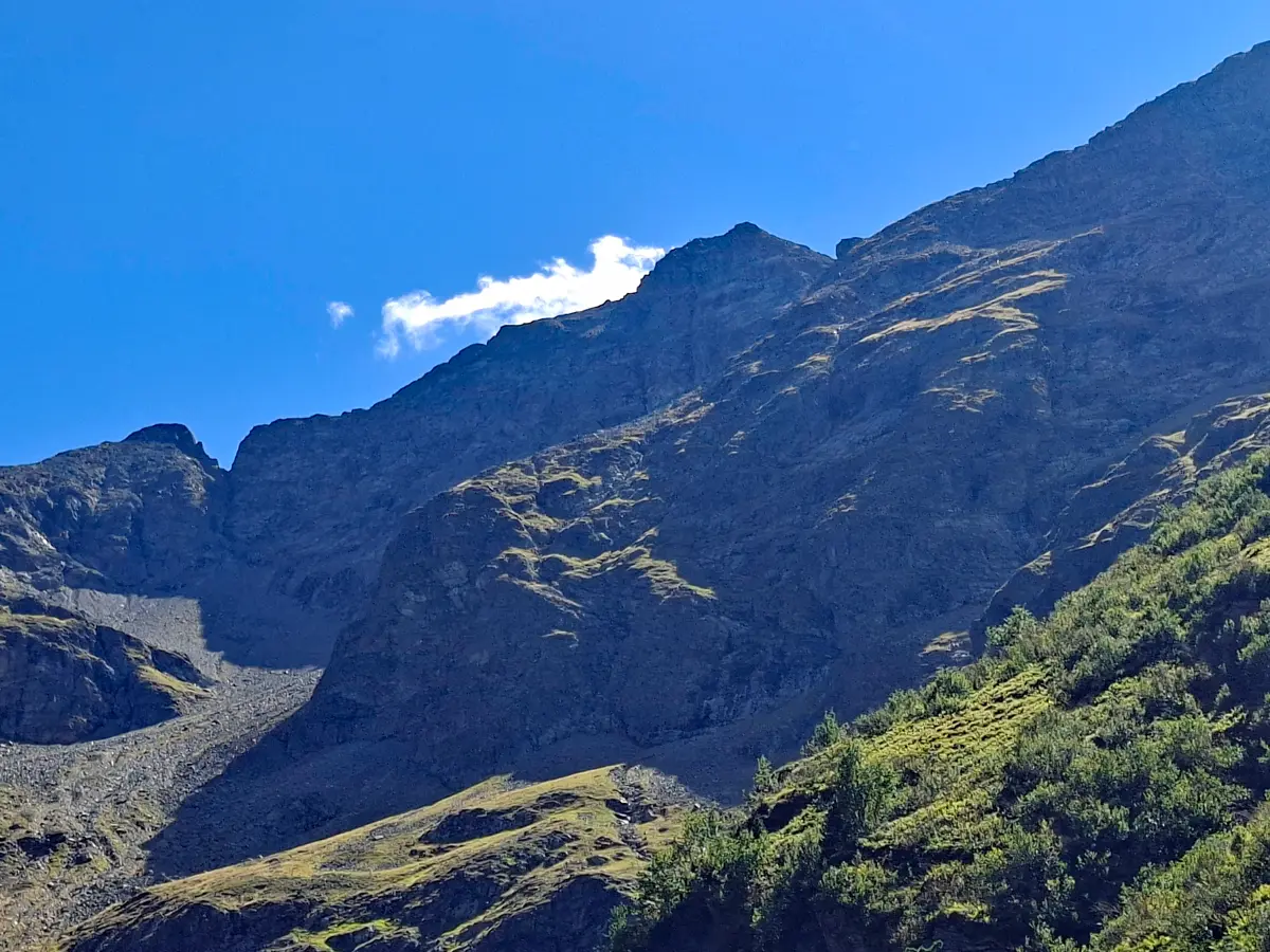
At the beginning of September, I spontaneously decided to hike up the Hochwildstelle, located south of the Steirischer Bodensee in the Schladming Tauern.
At 2,747 metres, it is the highest mountain located entirely within the Austrian state of Styria.
As the weather services had forecast a cold snap for the following days, it was time to tackle this tour while I still had the chance this year.
For me, this is one of the most beautiful and varied tours of all.
It passes three impressive mountain lakes and several waterfalls, follows the Robert-Höfert-Steig to the Neualmscharte and then continues along an alpine ridge to the summit, which offers magnificent views.
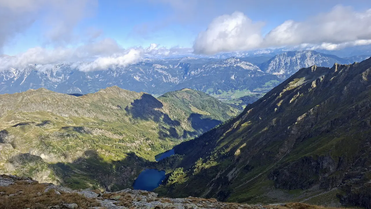
A large part of the ascent follows north-facing slopes and often remains in the shade until late morning, which can be a real advantage on a hot, sunny day. In spring and autumn, however, you should always keep an eye on the snow conditions.
Tip: Facebook can sometimes provide a useful indication of the current conditions. The search function can help you find useful posts from hikers who may have recently reached the summit and shared photos.
- Technical Difficulty and Fitness Level
- Toll and Parking — Starting Point of the Tour
- Ascent to the Hans-Wödl-Hütte (GPX Track of the Tour)
- Hüttensee and Ascent to the Obersee
- Obersee and Ascent to the Neualmscharte
- Ridge Hike via the Kleine Wildstelle
- Ascent to the Hochwildstelle
- At the Summit of the Hochwildstelle
- Descent and Return Route
- Sun Exposure
Technical Difficulty and Fitness Level
The tour is technically quite demanding, particularly along the final section between the Seewigscharte and the summit.
This final section is graded T5. It initially follows an exposed ridge for quite some time and requires demanding route-finding before the final ascent to the summit, which involves grade I rock climbing (UIAA I).
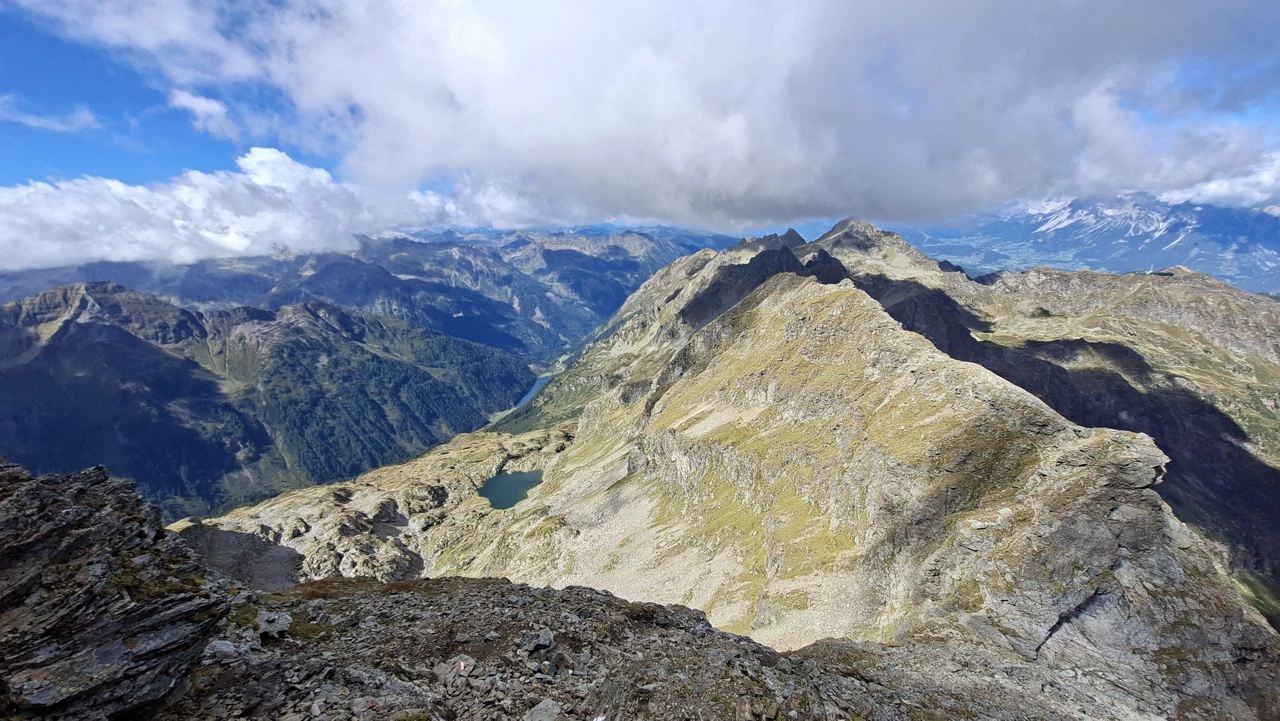
Particularly along the ridge, you need to proceed with great care and concentration, as the next trail marker is not always immediately visible.
Despite the favourable geographical location of the ascent, the physical demands of this hike should not be underestimated: almost 1,700 metres of elevation gain and 16 kilometres must be covered in total.
Due to its technical difficulty and, above all, its physical demands, the tour is officially rated as “difficult”.
At a very brisk pace, the ascent took me approximately 3 hours and 20 minutes. The descent along the same route took around 2 hours at a very fast pace. My total walking time was therefore about 5 hours and 20 minutes.
At a normal pace, however, you should allow approximately 8 to 9 hours of total walking time.
Toll and Parking — Starting Point of the Tour
The starting point of the tour is the Steirischer Bodensee, south of Aich.
There are also plenty of parking spaces available. If the toll booth is staffed when you drive up, a toll is charged between 14 May and 1 November.
The toll is €4.20 per adult and €1.90 per child. Access is included with the Schladming-Dachstein Sommercard.
There is no additional charge for parking.
Ascent to the Hans-Wödl-Hütte (GPX Track of the Tour)
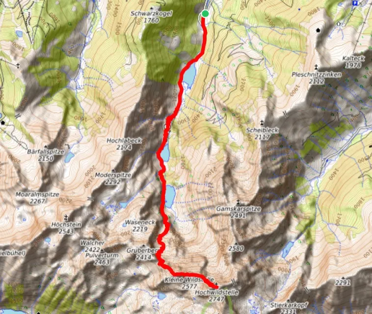
First, you walk past the Seewigtalstüberl and a barrier.
You then follow the path alongside the Seewigtalbach for a few metres until you reach the Steirischer Bodensee.
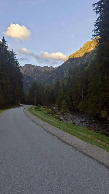
Here, you immediately turn right onto the western shore and follow the path south between the Gasthof Forellenhof and the lake.
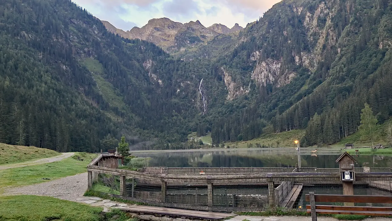
At the end of the lake, you reach the signposted junction leading to the Hans-Wödl-Hütte.
The route now continues southwards along a steep hiking trail graded T2.
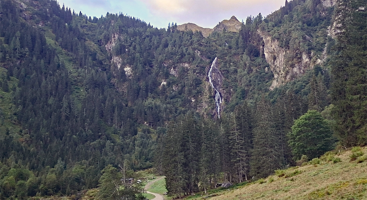
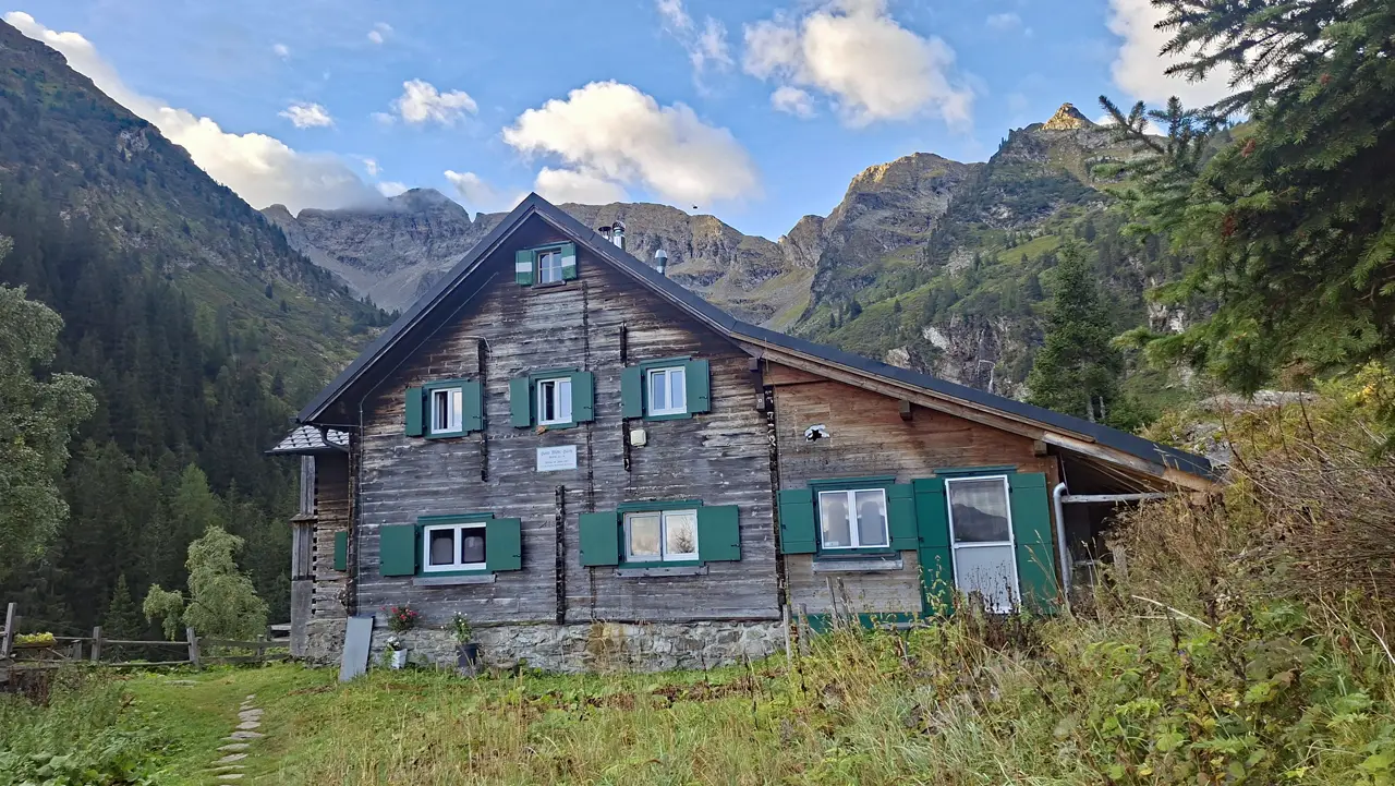
Along the way, you pass the impressive Bodensee Waterfall before eventually reaching the Hans-Wödl-Hütte.
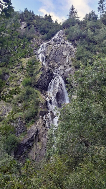
Hüttensee and Ascent to the Obersee
There is an important junction at the Hans-Wödl-Hütte.
Be sure to follow the signpost towards the Hüttensee, Obersee and Hochwildstelle, as the trail heading southwest leads to the Höchstein.
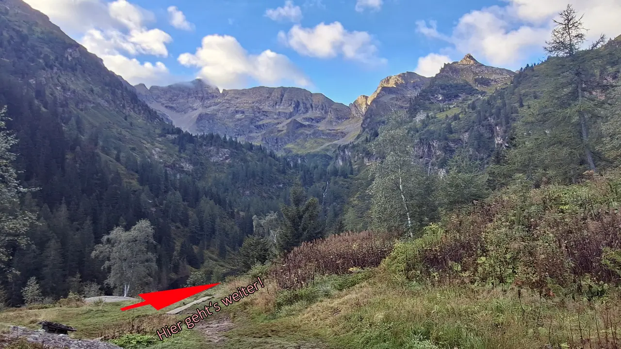
Initially, the T2 trail descends briefly until you reach the Hüttensee.
You then follow the shore to the end of the lake and cross the Pfannseebach there.
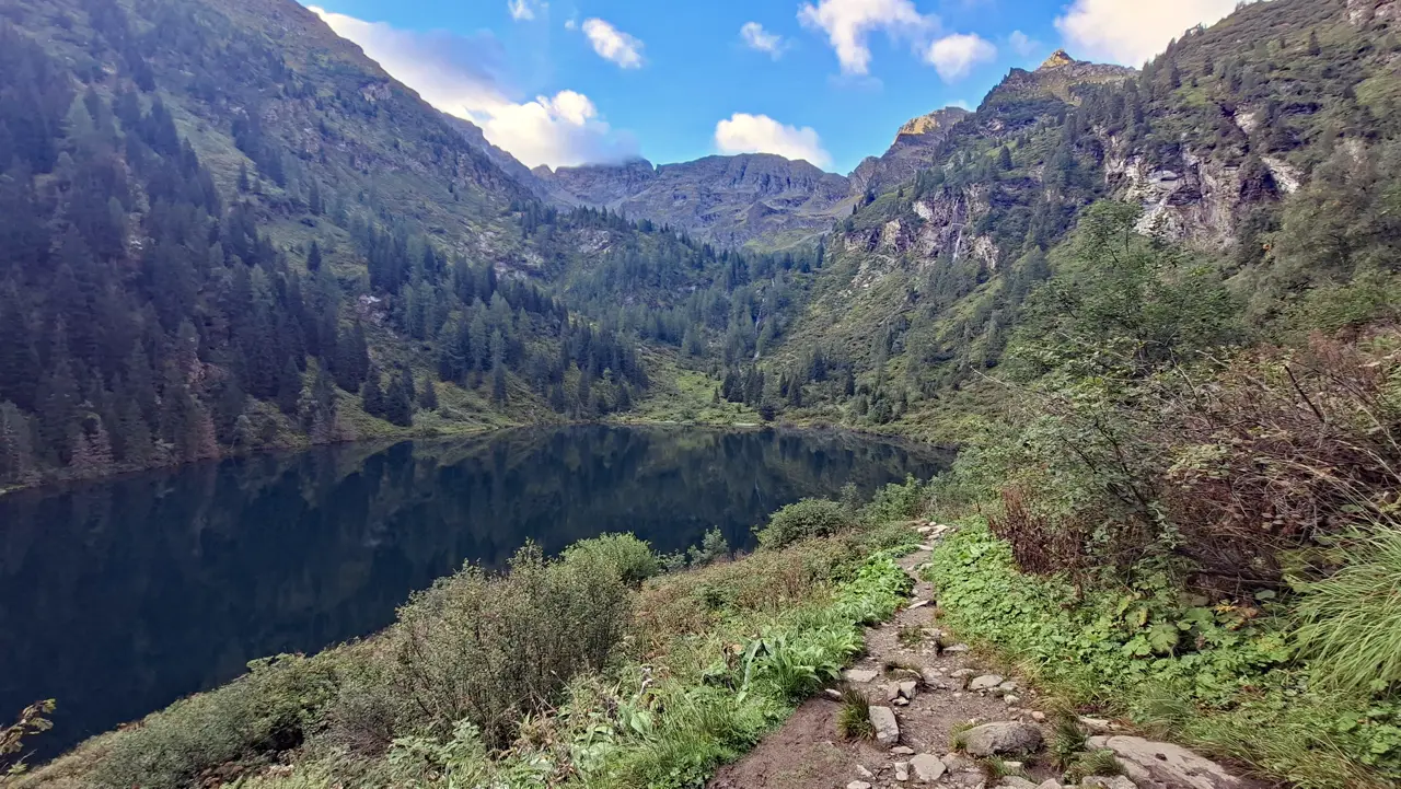
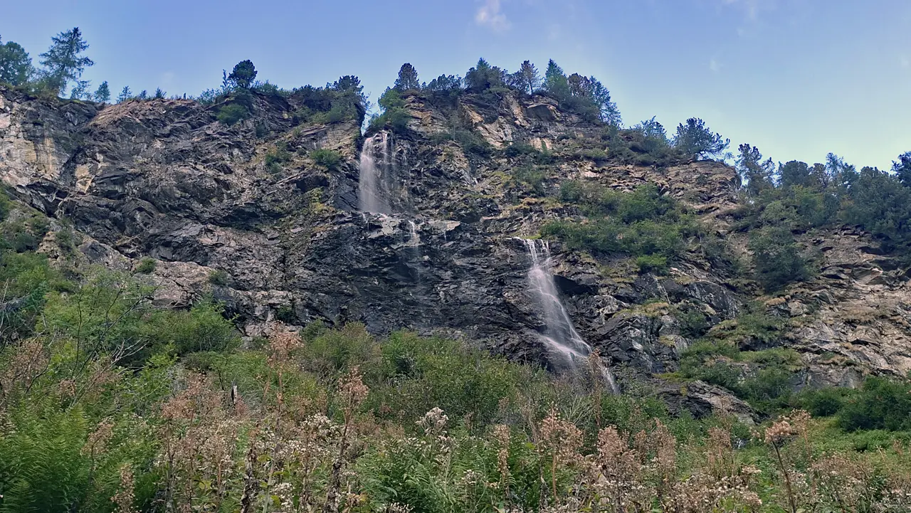
The trail now becomes somewhat steeper again and passes the Schleierwasserfall before reaching another smaller yet impressive waterfall fed directly by the Obersee.
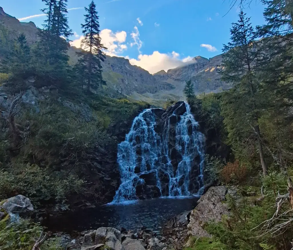
Obersee and Ascent to the Neualmscharte
The trail then continues at a fairly gentle pace along the shore of the idyllic Obersee, with only minor ups and downs.
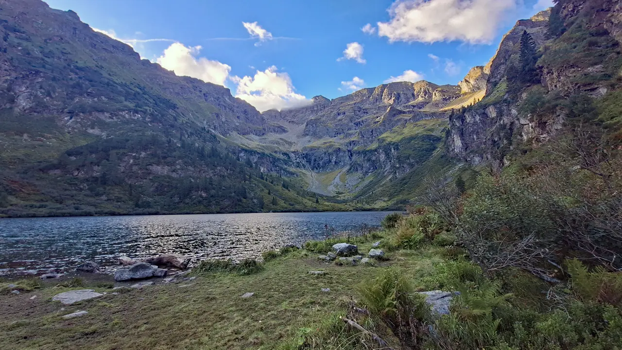
Shortly before the end of the lake, however, the trail suddenly becomes very steep and transitions into the T3 terrain of the Robert-Höfert-Steig.
This is followed by a long, very steep but only slightly exposed ascent to the Neualmscharte.
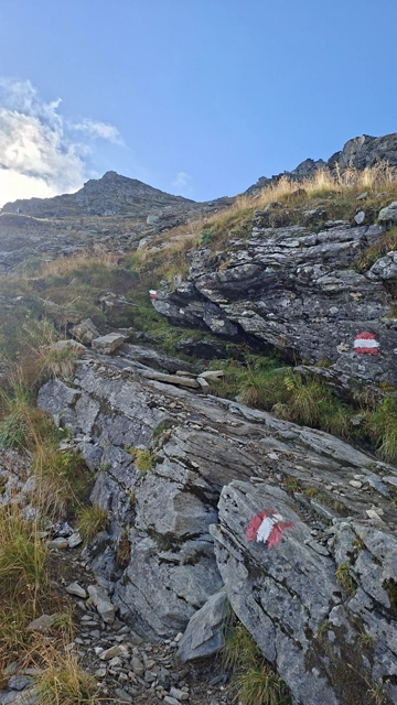
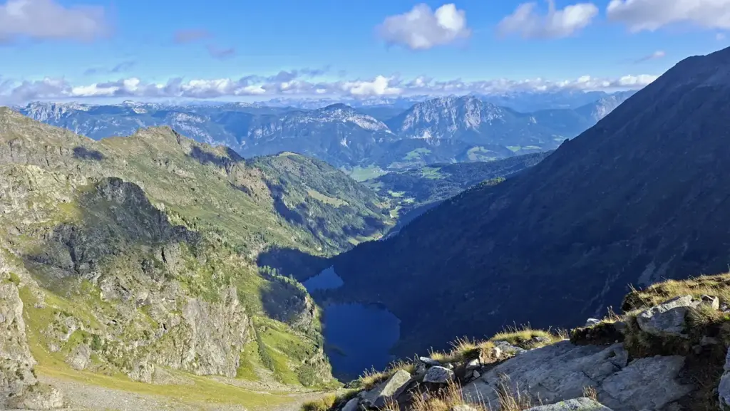
After some time, you reach the Neualmscharte and continue following the signpost towards the Hochwildstelle.
The more technically demanding part of the tour now begins.
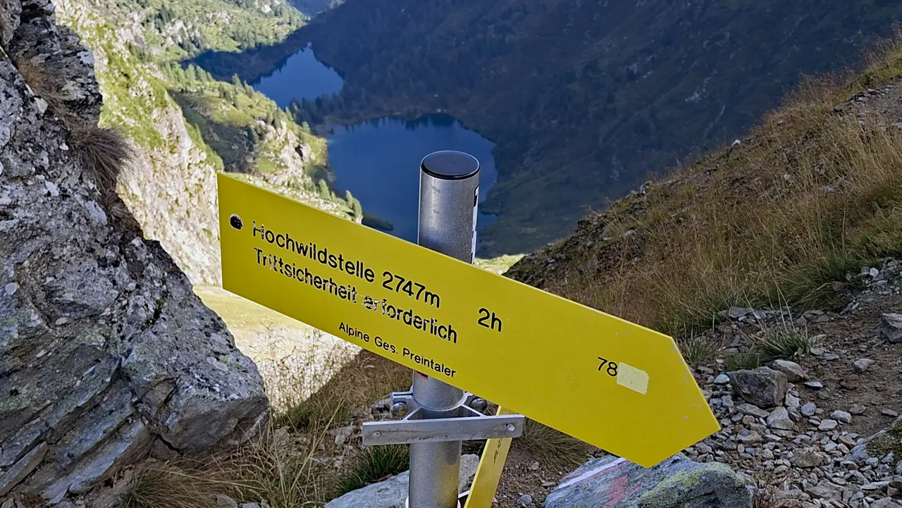
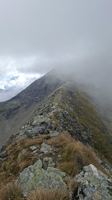
Ridge Hike via the Kleine Wildstelle
From the Neualmscharte, the route continues along the ridge at T4 level, with repeated easy climbing sections graded UIAA I, via the Kleine Wildstelle and onwards to the Seewigscharte.
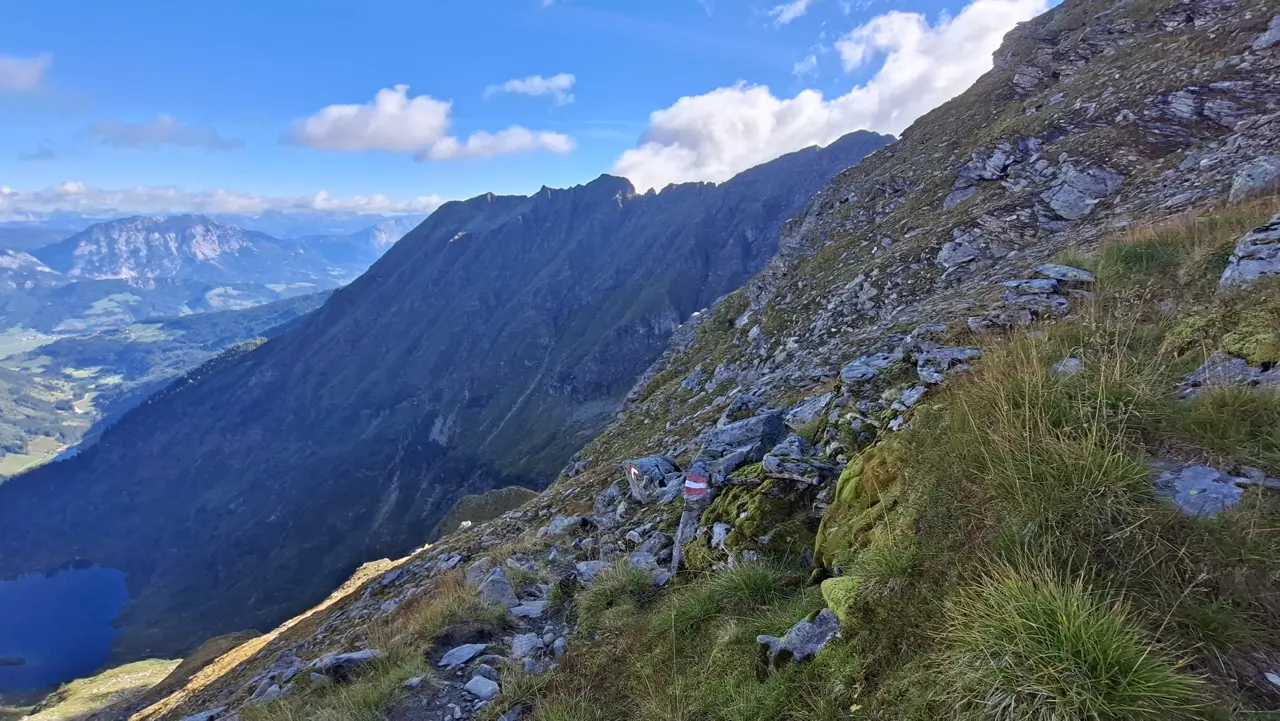
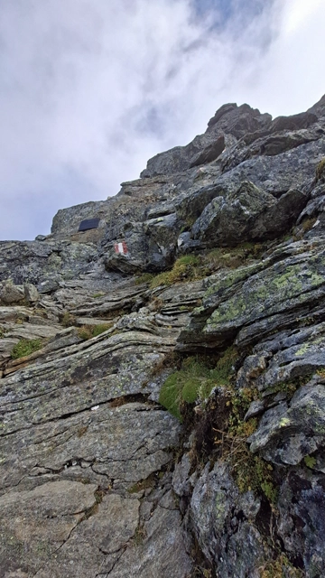
From the Seewigscharte onwards, if not before, the final section of the tour transitions into a demanding T5 trail with further climbing passages graded UIAA I. Some sections could possibly even be rated UIAA I+.
CAUTION! Particular care is required here, and you need to follow the trail markers closely, as they are not always immediately visible.
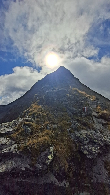
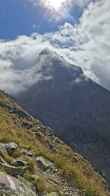
Ascent to the Hochwildstelle
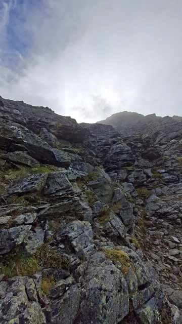
At the very end, one final steep, rocky ascent graded UIAA I to I+ must be negotiated.
At the Summit of the Hochwildstelle
Once you have negotiated the more demanding T5 terrain, you reach the summit of the Hochwildstelle relatively quickly.
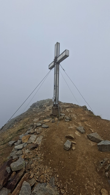
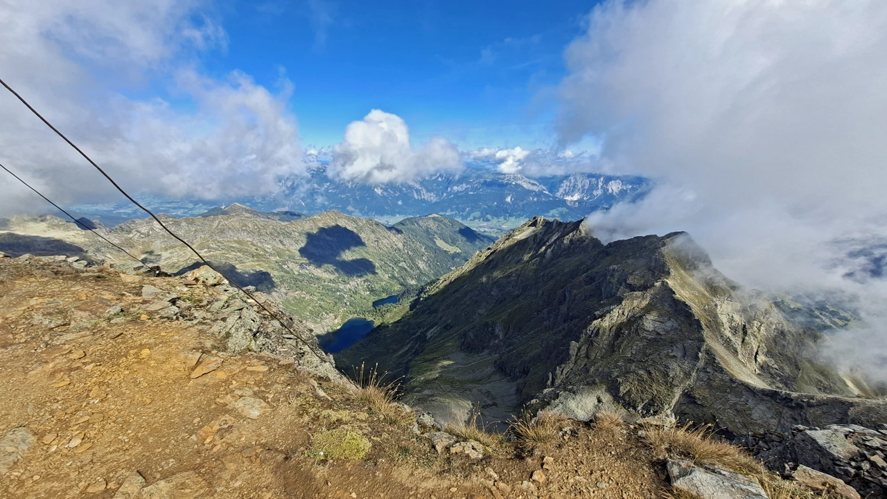
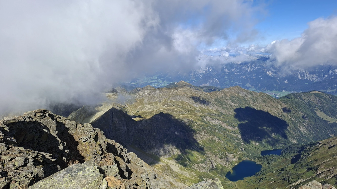
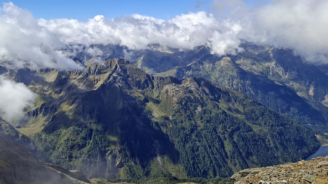
Now it is time to sign the summit register (which was present as of early September 2026), have a snack and, in good visibility, enjoy more phenomenal views.
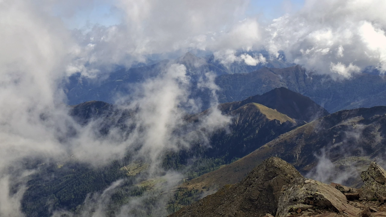
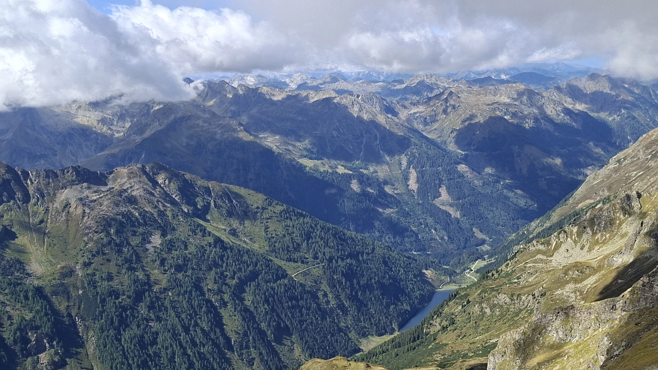
Unfortunately, it was very foggy during my time at the summit, which can happen relatively quickly at this altitude. Nevertheless, the clouds occasionally parted, revealing a breathtaking panorama.
Descent and Return Route
I descended along the same marked trail that I had previously followed on the ascent.
CAUTION! Particularly when descending along the ridge, you need to be very careful not to miss any trail markers or stray off route.
At one or two points on the way back, I even had to check the route carefully several times and retrace my steps for a few metres to find the trail markers again.
Sun Exposure
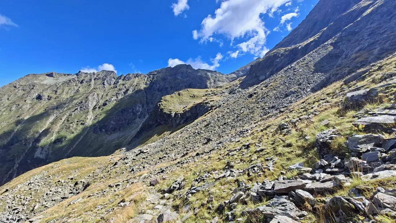
A large part of the route follows north-facing slopes and remains in the shade for a long time, especially if you start early.
In my case, I did not reach the sunlight until shortly before the Neualmscharte.
Particularly along the final section over the ridge to the summit, you are more exposed to the sun.
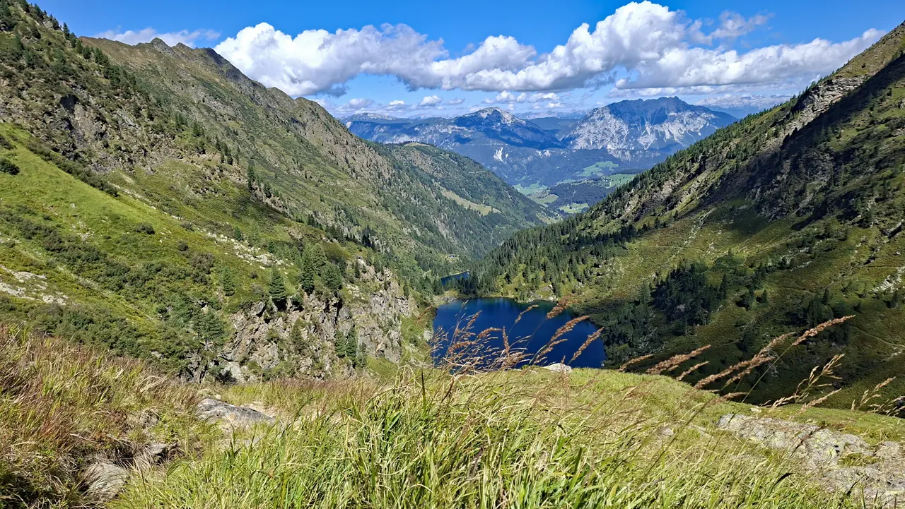
During the descent, however, the sun may also reach the lower sections, depending on the time of day.
Have you already hiked to the Hochwildstelle via the Hans-Wödl-Hütte, or do you know an interesting alternative route? Feel free to share your experiences in the comments.
Information about the current trail conditions is always welcome as well.
⚠ Caution: The tour described here is based on my personal experience and assessment at the time of my hike. Conditions, trail surfaces and markings can change at any time. The provided GPX track is intended for orientation only.
The tour should therefore only be attempted if your technical skills and physical fitness are sufficient for it. Assessing the current conditions and deciding whether to proceed is your own responsibility. Overestimating your abilities can quickly become dangerous in alpine terrain.