

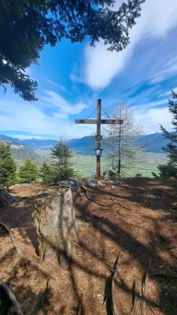
In April, a relatively short and easy hike took me via the Grimminghütte mountain hut to Tressenstein near Trautenfels, also known as “Little Grimming”.
The summit stands at 1,196 metres and is considered a real hidden gem.
Especially in spring, when there is still too much snow on Grimming for a longer mountain tour, you will usually encounter only a few other hikers along the way.
As a result, the entire route is usually very quiet, even though the summit offers magnificent views across the Enns Valley.
- Technical Difficulty and Fitness Level
- Parking — Starting Point of the Tour
- Ascent via the Grimminghütte (Including GPX Track)
- Tressenstein Summit
- Descent and Return Route
- Sun Exposure
Technical Difficulty and Fitness Level
Technically, the tour is not particularly difficult and remains within the T1 to T2 range throughout (easy to moderately difficult). Only one or two short passages just before the summit could perhaps be rated T3− or T2+ (slightly more demanding).
The tour is also relatively easy in terms of fitness: the total distance is only around 9.3 kilometres, with 572 metres of ascent and descent.
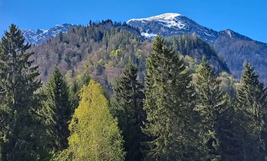
At a very brisk pace, the ascent took me approximately one hour. The descent along the same route took around 45 to 50 minutes, bringing my total walking time to approximately 1 hour 45 minutes to 1 hour 50 minutes.
At an average walking pace, however, you should allow approximately 2 hours 45 minutes to 3 hours in total.
Parking — Starting Point of the Tour
The starting point of the tour is Trautenfels Castle.
There are also plenty of free parking spaces available there.
Ascent to Tressenstein via the Grimminghütte
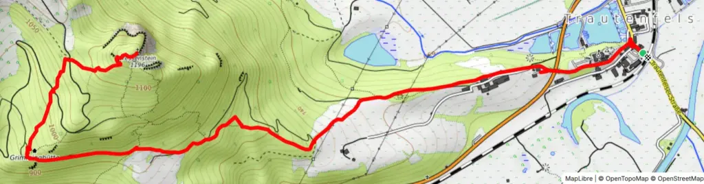
From the car park, the Leitnerweg first led me up to the castle, where I crossed the Ennstalstraße via a bridge. I then followed the wide trail no. 681, which climbed relatively gently for quite some time.
Along the way, you pass the “Bio-Institut am Moarhof” as well as the Protestant church ruins of Neuhaus, which are also well worth seeing.
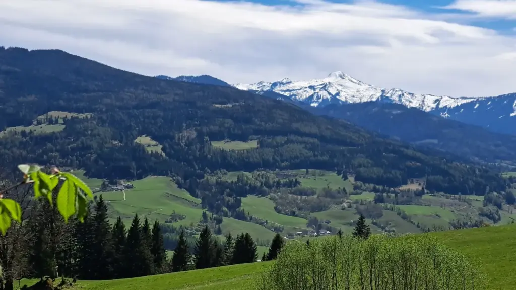
After the ruins, keep left and continue along the wide gravel track, which gradually becomes steeper before entering the forest and turning into a narrow hiking trail.
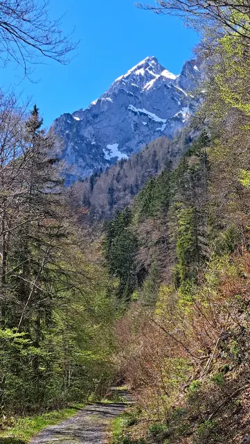
Continue to follow the signs for Grimminghütte/Tressenstein, pass a barrier gate and proceed along a gravel track.
At a prominent junction, turn sharply right towards the Grimminghütte.
The route to the hut largely follows an easy T1 hiking trail, with only a few short T2 sections.
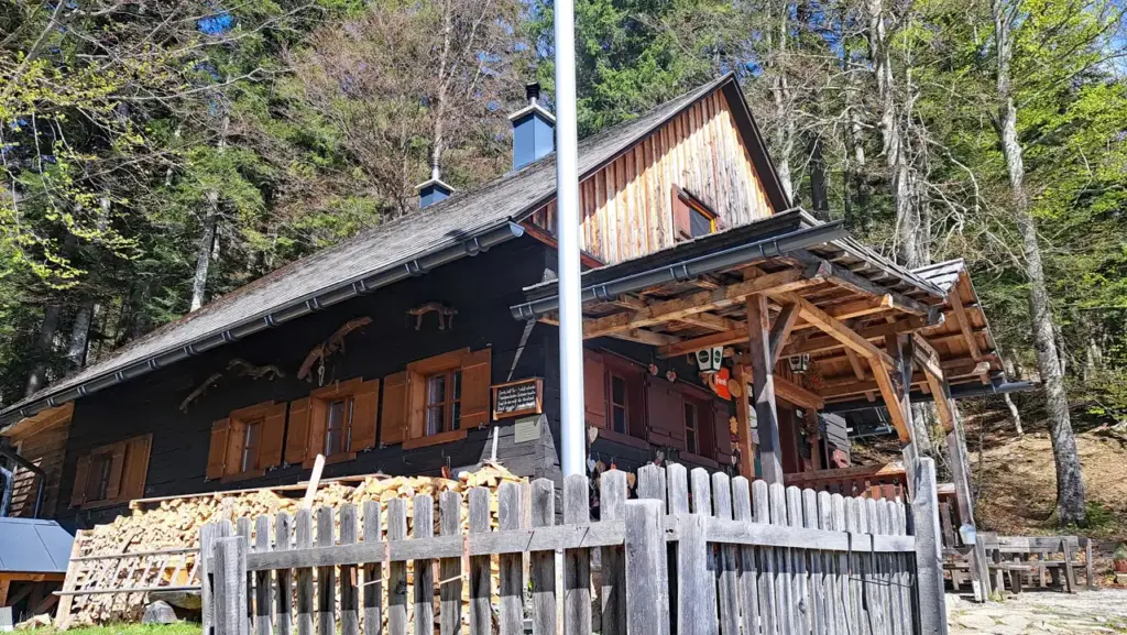
Immediately after the Grimminghütte, I once again followed the signs towards Tressenstein and turned slightly right in a north-easterly direction onto trail no. 685.
Caution: Do not continue along trail no. 681, as it leads to the ascent routes up Grimming via the south-east ridge or Multereck.
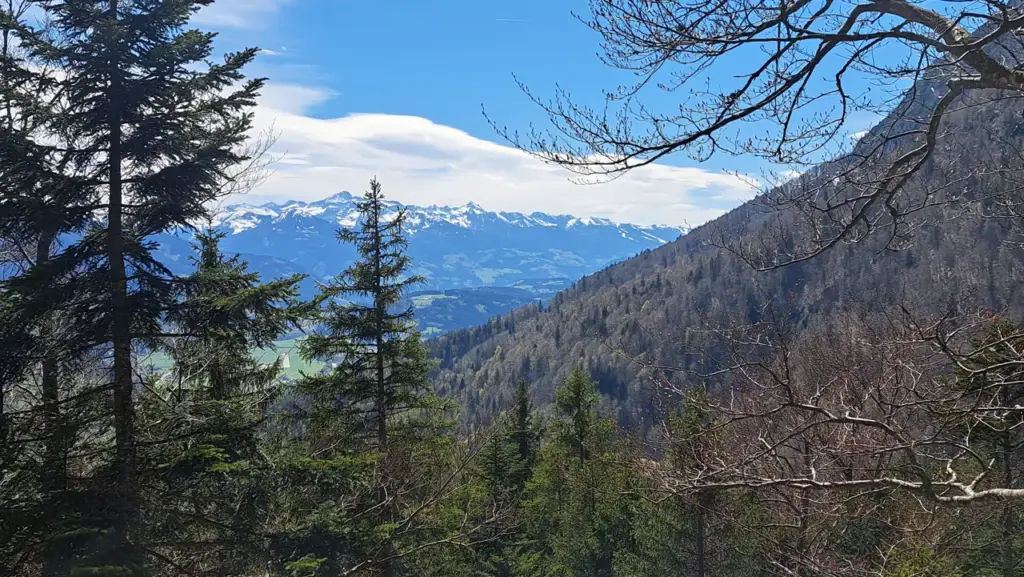
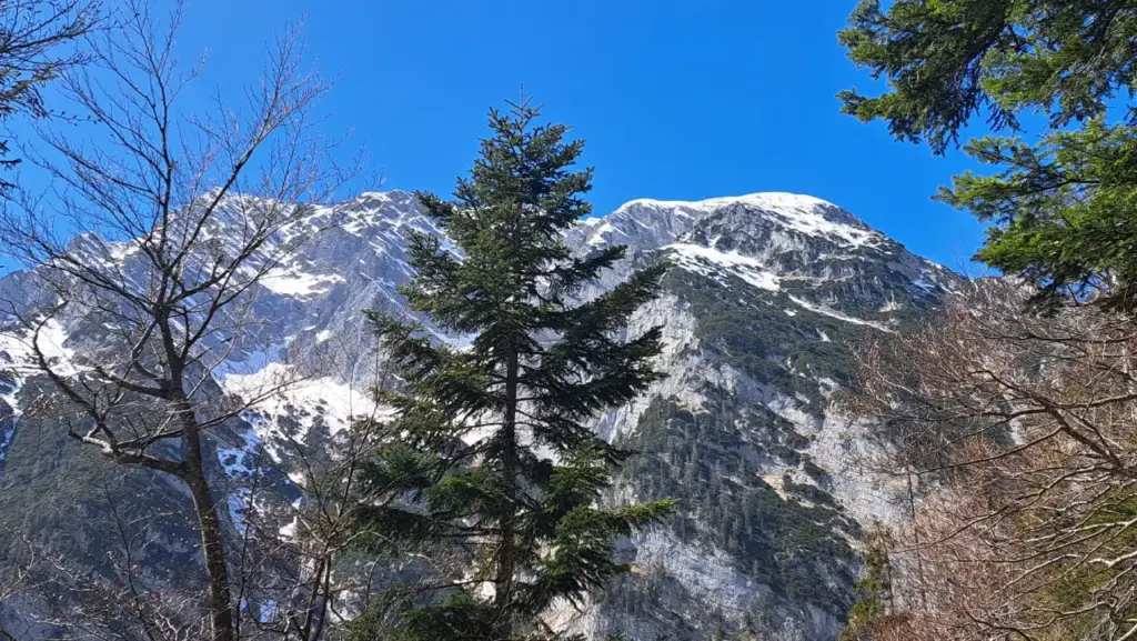
The trail then continues steadily uphill through the forest, becoming slightly steeper towards the summit while remaining mostly at T2 level.
In the final section, turn sharply right again and cross a forest road, after which the trail heads due east.
In my personal assessment, the final one or two sections shortly before the summit could be rated T2+ or briefly even T3. However, under normal conditions, they should not present any major difficulty for reasonably experienced and sure-footed hikers.
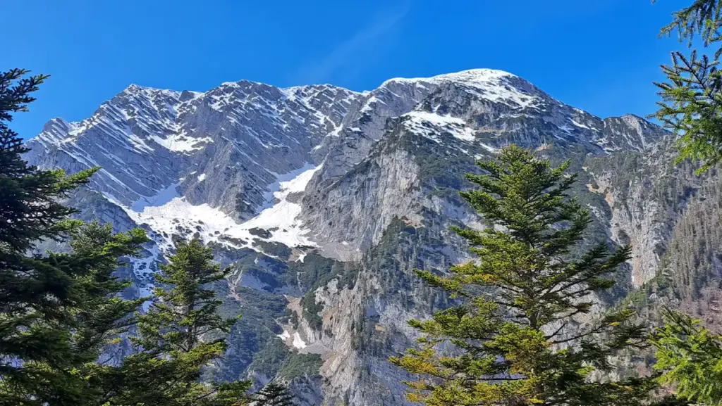
At the Summit of Tressenstein
Upon reaching the summit, a breathtaking panorama opens up across the Enns Valley and the surrounding mountains.
Now it is time to sign the summit register—which was present on the summit as of April 2026—have a snack and, if visibility is good, enjoy more phenomenal views.
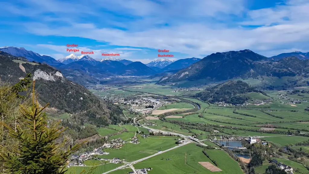
Looking east, you can see Wörschach and Liezen, as well as Großer Pyhrgas, Bosruck, Hexenturm and even Großer Buchstein.
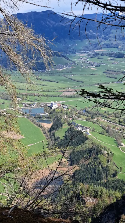
Trautenfels Castle, including its castle pond, also provides an interesting sight when viewed from Tressenstein.
In the background, the view extends towards Sallaberg and Lantschern.
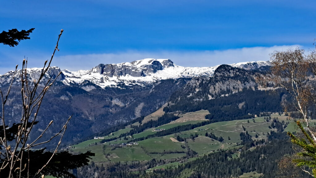
Looking north-west from the summit, you can see Gwöhnlistein in the foreground, on the right-hand side of the image, and the Tauplitzalm plateau with Traweng and Sturzhahn in the background, from left to right.
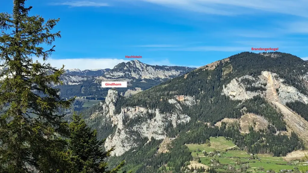
Looking north-east, you can see Gindlhorn, Hechlstein and Brandangerkogel.
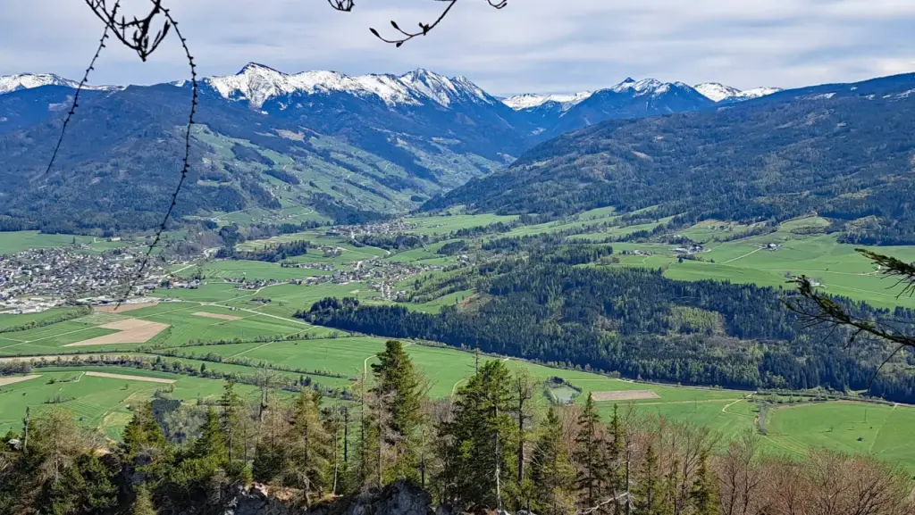
Looking south, you can see Irdning and the surrounding mountains, including Mölbegg and Hochstein in the background.
Descent and Return to Trautenfels Castle
I descended along the same marked trail that I had previously followed on the ascent.
Sun Exposure
From Trautenfels Castle to shortly beyond the ruins of Neuhaus Church, or until the trail enters the forest, the route is largely unprotected and therefore strongly exposed to the sun in clear weather.
Further along in the forest, the dense tree cover provides considerable protection from direct sunlight. Shortly before the Grimminghütte, the route crosses another more open section of forest road where you are briefly more exposed to the sun again.
After the Grimminghütte, the trail turns north and ascends the southern flank of the Tressenstein. It then initially continues northeast before traversing eastwards towards the summit on the final section.
Although this part of the hike is largely south-facing, the dense tree cover provides plenty of shade for the most part. Stronger sun exposure is only to be expected in a few open sections.
Have you already hiked up the Tressenstein, or do you know an interesting alternative route? Feel free to share your experiences in the comments.
Information about the current trail conditions is always welcome as well.
⚠ Caution: The tour described here is based on my personal experience and assessment at the time of my hike. Conditions, trail surfaces and markings can change at any time. The provided GPX track is intended for orientation only.
The tour should therefore only be attempted if your technical skills and physical fitness are sufficient for it. Assessing the current conditions and deciding whether to proceed is your own responsibility. Overestimating your abilities can quickly become dangerous in alpine terrain.